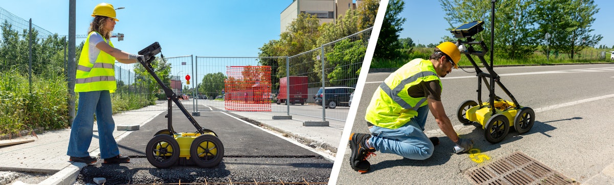
Leica Geosystems says its new DS4000 utility detection system can identify underground utilities that were “previously undetectable” and scan up to 60% deeper than traditional systems.
The system uses IDS GeoRadar’s Equalized Scrambling Technology to help contractors, utilities and surveyors see more objects, including small fiber optic cables, at both shallow and deeper levels. This is essential for reducing risk before breaking ground, the company says.
“The DS4000 helps teams work more efficiently, confidently and safely. With increasing emphasis on safety, tighter regulations and more complex projects, precise underground utility detection is becoming even more critical,” says Matthias Twardzik, director of Hexagon Detection at Hexagon’s Geosystems division. “With the DS4000, surveyors can deliver accurate data in complex environments, and construction or utilities teams can reduce risk, avoid costly setbacks during excavation and keep their timelines on track.”

Designed for single-person operation and transport, the DS4000 weighs 44 pounds and features a foldable handlebar. Wheels can be quickly swapped out when switching between flat surfaces and rough terrain.

The antenna, which extends below the cart, is mounted on an automatic height-adjusting system that lowers it for detection and raises it to avoid obstacles, reducing the risk of damage.

Batteries can be hot-swapped, enabling uninterrupted data collection. The DS400 uses uMap field software for real-time on-site marking and digitalization of detected anomalies and IQMaps post-processing software for advanced analysis.

The DS4000 supports external positioning through GPS/GNSS or Total Station integration. It is compatible with the Leica CT1000 field tablet, the GG04 Plus or the GPS60 smart antenna, as well as the DD SMART Series cable locators and transmitters.